
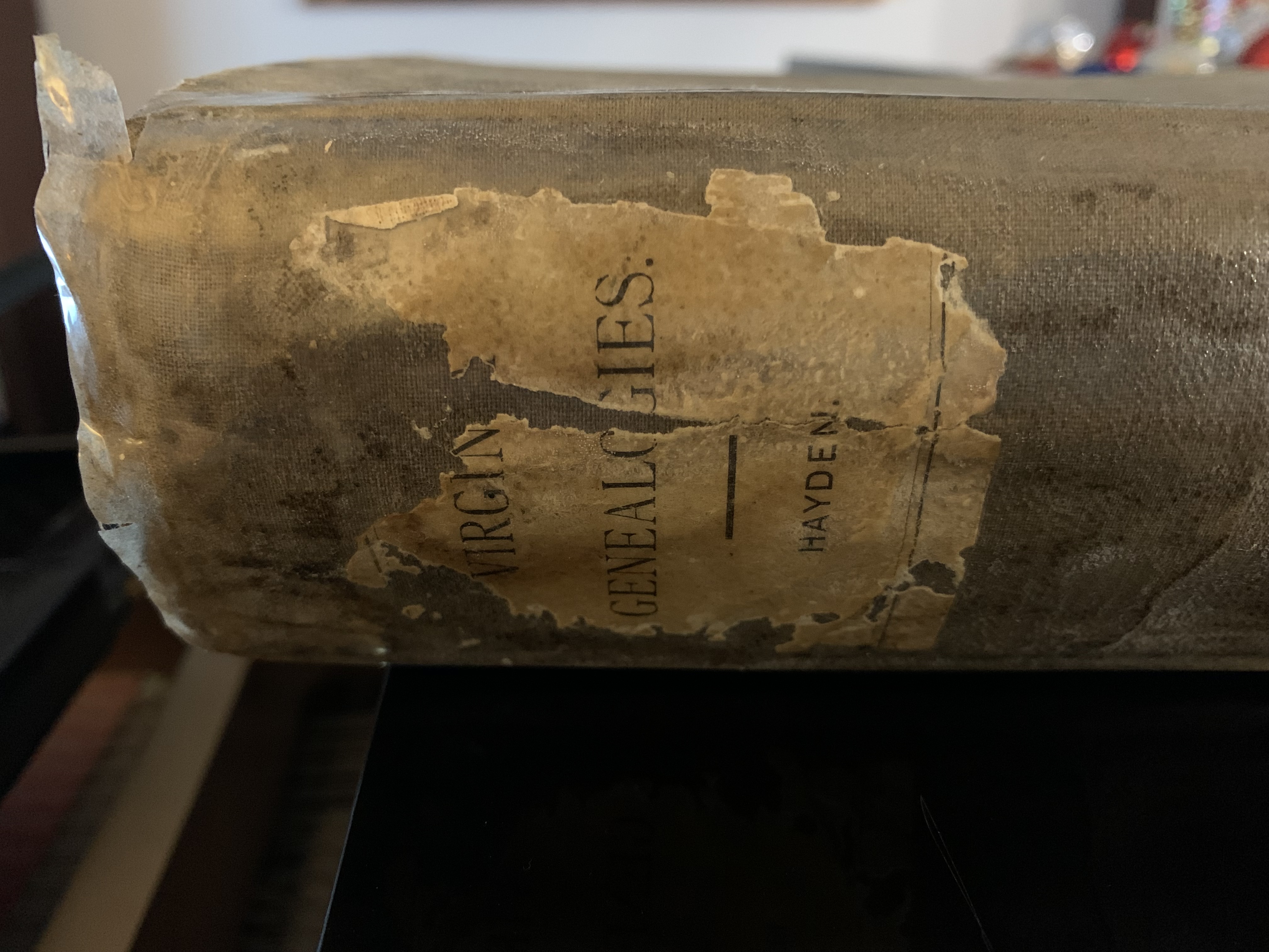
This history of Marion County, Kentucky, I know very well. In the summer between my senior year of high school and first semester at college I worked at our local public library – in Marion County. Having spent many, many hours there in the previous several years, going through census records – micro fiche – no books at that time! – and pouring over the county histories and family histories for records of my family – I was very familiar with the library, and excited when I was hired! One of my tasks, other than shelving books, checking out customers, etc., was to type an extra copy of this history by W. T. Knott! There are perhaps 100 pages. We did not have copy machines (1975) so if you wanted an extra copy it was typed! I was fascinated with the book – so loved every moment of my typing assignment!
In previous posts the history of the author, W. T. Knott, was the subject at hand. This post is about the early settlers of Marion County. Perhaps you will find your ancestor mentioned – if you are lucky enough to have family from this area!
Marion County was formed from Washington County in 1834. Something to keep in mind while reading this section, since it is really Washington County, but the section that became Marion County.
from The History of Marion County by W. T. Knott
Prior to the year 1785, the territory now Marion County had very few settlers, save a few old Indian fighters, hunters and scouts sent by the officials of Boone’s, Harrod’s and Logan’s forts to guard the frontiers and give notice of Indian raids, which at that time were more or less frequent from Tennessee and other bands of Indians further South.
Among others who did picket duty in this territory was Samuel Cartwright, whose stockade was located on the creek now bearing his name, about three and a half miles north of where Lebanon now stands, and with him Captain Walters or Waters, a noted and brave scout who, once, if not oftener, was made prisoner by the Indians. About this time John Simpson and Captain Jim Wilson were active with others as hunters, on picket duty in the southeast part of the county, near where now is Bradfordsville – first called Centerville, then Bradford’s Mill, finally Bradfordsville. Peter Bradford was an early settler and pioneer in that vicinity, and for whom the village was named. Within the past fifty years the ruins of an old stockade were conspicuous one mile south of Lebanon, on land now occupied by Sylvester Russell. We have recorded evidence in the various suits at law for the purpose of settling the claims of original claimants and holders of patents that as early as 1775 and on to 1780, and later, this territory was visited often by speculators and land hunters. Some names who were thus early on the ground are still known. William Stewart, in 1776, established claims on the creek named for him, Stewart’s Creek, by cutting his name on trees and scalping them so that others after him, seeing those marks of prior discovery, would pass by, thinking the lands already taken up. This can be said of Henry Prather, who along the cane clad valleys and wild peavine slopes of the creek now known as Prather’s Creek, established claims or pre-emption rights, by erecting small huts or cabins and marking trees; or sometimes merely brush piles were left to show prior discovery and claims. Jonas Heaton had claims marked on Pottinger’s Creek, some of which extended into the western portion of this county.
The mass of the early settlers of this territory emigrated from Virginia and Maryland, often in small colonies. These colonies would generally assemble at Pittsburgh, and, by purchase or construction of flat boats and barges and sometimes rafts only, secured transportation down the Ohio River for themselves, families, household goods, farming utensils and stock to some point on the river previously agreed upon, when they would land and with some frontiersman as guide would proceed through the wilderness to their destination with all their effects on pack horses, and themselves, and often women and children, walking the entire journey from the landing to their destined homes. The hardships and suffering that our ancestors endured during their emigration were many and severe. Many were lost in the river, many sickened and died on the rude boats, and many were killed and many were captured by the roving bands of savages which lined the river banks. Many of advanced age, and many in fact of middle age, who may read these lines, will go back in memory of the time when at the fireside of their parents, or perhaps at the feet of an aged grandfather or grandmother, the oft told story of their pioneer lives were listened to with untold interest. The grandfather who had been captured by the Indians and made his escape, being alone in the Indian country with nothing to guide him on his return but the sun by day and stars by night, nothing to eat but a few wild turkey eggs, or a pocketful of parched corn, could interest his grandchild with much more thrilling intensity, by his simply told story of hard facts, than Byron or Lowell, or Bulwer or Dickens can ever inspire the soul of any one of their millions of readers by their poetry or fiction.
With the names of the very earliest settlers of the territory now Marion County, may be found as early as 1778, those of James Ray, John Ray and Henry Prather, who settled in the western part, on Prather’s Creek and where Raywick now stands and the lands adjacent. Raywick had its name from the pioneer families, Ray and Wickliffe, the incident originating the names being the marriage of Lloyd Ray and Nancy Wickliffe.
In 1785, a colony of brave men and women, among whom were the Lancasters and Haydens, arrived from Maryland, and first settled in the western part, and afterwards a portion of the Haydens moved and settled in the southern part, on what is now Cloyd’s Creek – the creek named for Samuel Cloyd, a very early settler in the neighborhood and an old Indian scout. Two years later, in 1787, came the families of Thomas Hill and Phillip Miles and others, a colony also from Maryland. Hill finally settled north of where Lebanon now stands, and some of his descendants may, after a century has passed away, be found occupying very near the exact spot where stood the pioneer cabin. In the following year, 1788, also from Maryland came the families of Abells and others. In 1789 a colony from Virginia, consisting of several families of McElroys, arrived. Samuel McElroy settled on that beautiful tract lying between Caney’s and Pope’s Creeks, so named from the famous governor John Pope, and now owned by the heirs of the late Jack Spalding, about five miles southeast from the present site of Lebanon. James McElroy settled the lands recently occupied by Ben Wilson, about one and one-half miles west of Lebanon on Hardin’s Creek. In 1790 and 1791, from Maryland came Benedict Spalding, Leonard Hamilton, and others, with their families, and located at first on Cloyd’s Creek and the Rolling Fork, near where Calvary Academy is situated. There were many other arrivals from both Virginia and Maryland, dates not accurately known but between the years of 1780 and 1795, in different parts of the territory now Marion County, prominent among which we mention those of Thomas Wright, near the site of Lebanon; William Muldrow, from whom Muldrow’s Hill has its name, and who located the “city of New Lystra”, where New Market now stands. He had beautiful maps of the new city made out, showing the great importance of the location as destined to be a great city, with its navigable streams, the rich and fertile lands surrounding, and in the most enchanting and picturesque scenery. The maps were put upon the “boards” in Philadelphia and Baltimore, with a slick tongue to bring out the prospective value of the city lots in the near future, but to the Quaker brothers the scheme was too grand to attract his sober way of looking at things, and to the Baltimorian “New Lystra” was no doubt all that it was painted but it was too far away from his oyster beds and Potomac shad. So the famous city died suddenly and our little village of New Market now occupies the site of the devoted city of New Lystra.
To be continued.
Categories: Family Stories, Genealogy Ramblings


A fascinating story. It really made me aware of what a difficult time our ancestors had and how brave they were. How lucky we are to have had our families come to such a beautiful part of America. I look forward to the rest of the story. Marilyn Watts Vance McGaughey
love this…I want more!
There’s plenty more left to the story!
William Knott’s history is obligatory reading for the inquisitive mind seeking clues about our land, its people and immigrants, and its long history, regarding the Rolling Fork of the Salt River Valley, which encompasses and drains all of Marion County, as well as all of Washington, and Nelson Counties and nearly half of LaRue County. Given my own research, as the Surveyor of Marion County, who apprenticed to an unbroken line of master and apprentice surveyors in central KY, I believe that the evidence gives the most weight to the location of the planned town of Lystra, being situated upon the north bank of Salt Lick Creek (which would be on the Marion side of the LaRue County line) at the mouth ofDry Branch beside the present day intersection of Jed Gaddie Road, Salt Lick Road, and Dry Branch Road. The first surveyor charged with measuring and dividing central kentucky lands was George May, Surveyor of Kentucky County, Virginia from 1774-1780, whereupon the Kentucky district was then trisected into Jefferson, Fayette, and Lincoln COunties, of which, George May then assumed the role of Surveyor of Jefferson County. By 1784, the New Salem colony including William Baird, later known as Baird’s Town, now Bardstown, was the largest settlement, and became a new county, entriely out of southern Jefferson, and took George’s borther, William May as its first County Surveyor, who subsequently trained John Helm, who in 1792, upon Kentucky becoming a state, became Surveyor of Washington County, formed at that time entirely out of eastern Nelson. Helm would go on to train William Beall, who trained John Scanland, who trained Felix Phillips, the first Surveyor of Marion County (1843). Phillips would go on to train J.T. Gribbins, who trained A.T. “Tank” Brown, who surveyed with my grandfather, C.M. Probus(S.M.C. 1952-1992). I, along with my father, Sam Anzelmo, Jr. (S.M.C.1992-2005) trained under grand-dad, Daniel Anzelmo, Sr. (S.M.C.2005-present).
I see you have a photo at the top of the page for Ann Hagan, but nothing about the Hagan family. I am researching the Hagans, and right now I am trying to find out if they were a part of the “catholic pioneers”.
Yes. The Hagans were definitely part of the early migration from Maryland.
It is a photo from one of the Marion County cemeteries, possibly Washington or Nelson. Do you need a copy? I can send it to you.
What about the battles of Salt lick on the Larue Marion co line ?, were the last of the native Americans, Buffalo (east of the Mississippi ), and even wolfs were forced up into the caves, where legends passed down facing starvation the last few buffalo the Indians came forth and raided, after which gruesome battle where fought on the steep ridges and caves which, went on for months and many died, as the ky long riffle was no better than a club at short range when it was done only some squalls remained, we owned property on top of the ridge in LaRue co and an old timer told us of a mass Indian burial grounds on our property and this was passed down from his great grandfather(early 1800s) as he has seen as a kid and along with the women were forced to drag the bodies out of the steep ravines as they were causing outbreaks of typhoid downstream. we have found many artifacts, and also have Indian caves in the back, we were told by the old timer to not go in as there were evil spirits in there (aka demons that would overcome you), and we followed his advice. I was young when he told this story, he told it to my brother and I at different times and when we plowed certain parts of our farm it seemed to upset him. Has anyone else heard of this event?
Hmmm A very interesting story I wish I had the answers for you but it would be awesome if it’s all true Would you ever let any paranormal teams explore?
I would think id rather not,it has been ravaged by ghouls,who according to locals have Indian artifacts collection worth thousands,I met one of the grave robbers, and my wife and i both felt his demonic spirit,when I mentioned the caves something strange happened and ugly that I don’t really want to go into., my wife cried for days after meeting him when discussing are property Lines, My dad would never go back there(in fact the only time was when we bought the land in the mid-80s and the Man we bought it from showed us the back property line and the Caves ,My dad who is half gypsy jew never spoke of it , and ignored it ,so the locals aka cave explores have moved in,I went back there is a teenager,but such was the spirt of evil I never went back. I have not so pleaasent dreams of the place.You can be assured there are spirits, ghost something back there, and its best to leave them be as the old timer told us .
We also live near the village of Atilla,it is on the Larue, Marion co Line . We became interested in the village of Atilla and wonder how it got its name. Come to find out , after much research, Attilla was a confederate guerilla during the civil war .and a stranger yet , according to death records, several people’s cause of death in 1865, were listed as Confederate guerillas?? It’s strange they would name a village after him, Could anyone shed any light on that?
I would like to see rest of the story “The History of Marion Co., KY.” Bradfordsville, Marion Co., KY got it’s name from the Bradford family. Some of the Bradford family later moved to Phelps and Pulaski Counties in Missouri and were very prominent in those areas. The Burnett family also lived at Bradfordsville, KY and moved to Pulaski and Texas County Missouri. I am related to the Burnett family who once lived at Bradfordsville Co, KY. I was told there is a photo of the Burnett family (hanging on a wall) in the genealogy library in Marion Co., KY.
The Burnett family lived at Bradfordsville, Marion Co., KY not Bradfordsville County.