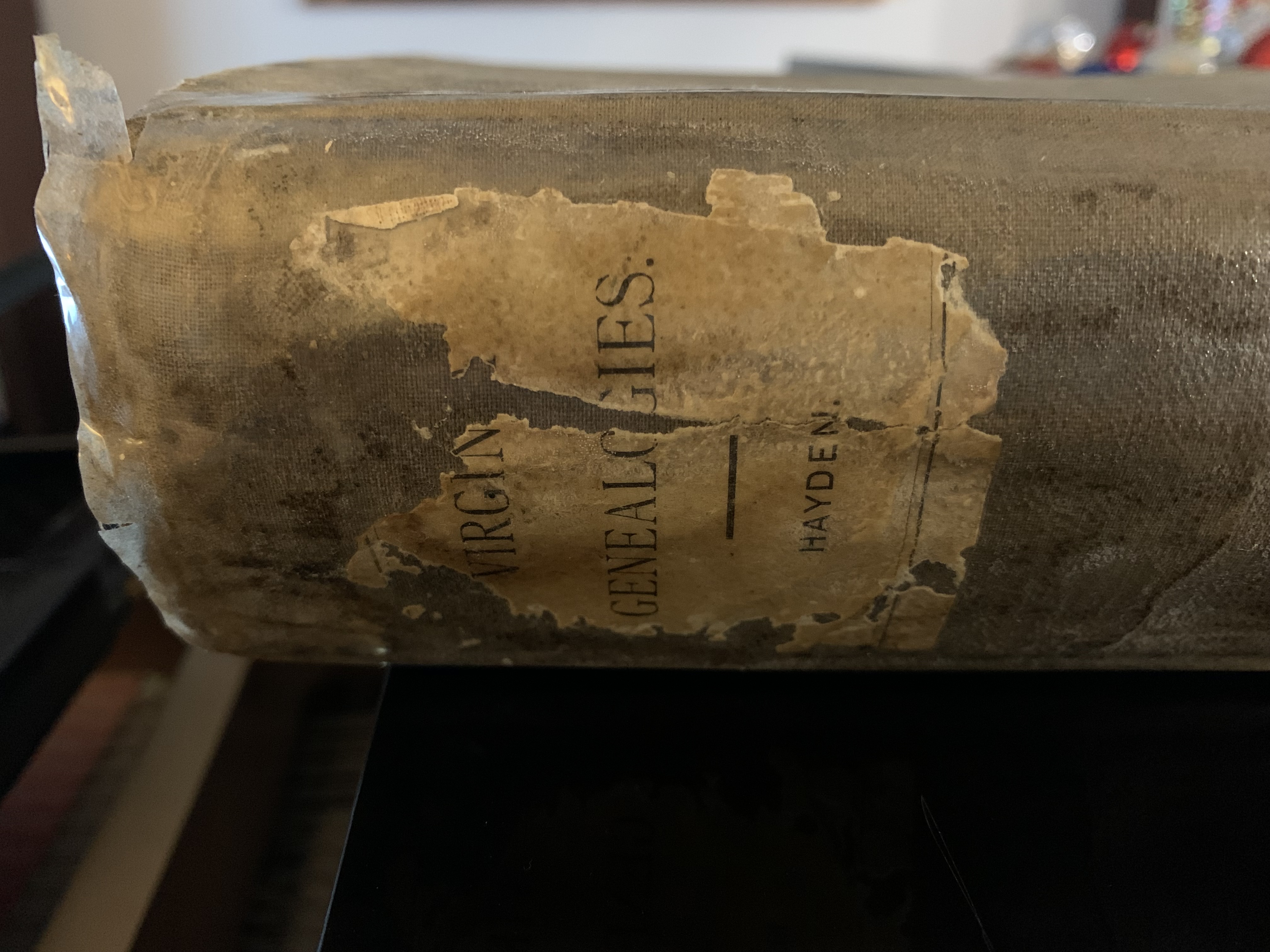

I was drawn to this deed originally because it mentions a John Edwards receiving 3002 acres of land as part of a treasury warrnat in what was at that time Lincoln County, Virginia, later to be Lincoln County, Kentucky. My Edwards moved to Kentucky in the early days of the nineteenth century. Could this be part of their land? The deed mentions ‘on the water of Salt River and Chaplain Fork’ which is actually now in Mercer County, but close to the Washington County border. Upon further reading I come upon our good friend James McAfee, one of the earliest settler’s of Mercer County, along with his brother Robert McAfee. Thomas Lillard, Edward Dickenson and a Mr. Slaughter are also mentioned – early Mercer County names! This is not my Edwards’ family, but what a find otherwise! To do your own search for early Virginia – and some Kentucky – records visit the Library of Virginia online catalog!
Edmund Randolph, Esquire, Governor of the Commonwealth of Virginia, to all to whom these presents shall come. Greetings. Know ye that by virtue and in consideration of part of a Land Office Treasury Warrant, Number twelve thousand seven hundred and four, issued the twenty-ninth day of June, one thousand seven hundred and eighty-two, there is granted by

the said Commonwealth unto John Edwards a certain tract or parcel of land containing three thousand and two acres, by survey bearing date the twenty-fifty day of July, one thousand seven hundred and eighty-six, lying and being in the County of Lincoln, on the water of Salt River and Chaplain Fork, and bounded as followeth. To wit, beginning at the south west corner of James McAfee’s survey of three hundred and thirty eight acres, three white oaks and extending thence west with Edward Dickenson’s line one hundred and seventy five poles to a hickory and two sugar trees, then south two hundred and sixty five poles to a white oak on the side of a ridge in Slaughter’s line, thence with the same west two hundred and fifty poles to his corner on Robert McAfee’s line an elm and two sugar trees, then north twenty five degrees wet twenty five poles to a corner, three white oaks, it being said McAfee’s and with his line south sixty five degrees west one hundred and thirty six poles to a white oak and sugar tree, thence with his line north twenty five degrees west thirty poles being his most northwardly corner, three white oaks, south sixty five degrees, west one hundred poles to a white oak and hickory trees, corner to Thomas Lillard on McAfee’s line, then with said Lillard’s line north fifty poles to his north east corner a ? and two elm trees, thence west one hundred and thirty poles to a white oak and sugar tree on George James’ line of his three thousand eight hundred acre survey, thence with the same north and passing his corner six hundred and seventy one poles to two white oaks, thence east seven hundred and twenty poles to a white oak and dogwood on Reading’s line and with the same south twenty eight degrees east one hundred and fourteen poles to a white oak. Thence with his line north sixty two degrees east, twenty pole to three black oaks corner to James McAfee’s line, thence with a line of the same south three hundred and ten poles to the beginning with its appurtenances. To have and to hold the said tract or parcel of land with its appurtenances to the said John Edwards and his heirs forever. In witness where of the said Edmund Randolph, Esquire, Governor of the Commonwealth of Virginia, hath hereunto set his hand and caused the lessor seal of the said Commonwealth to be affixed at Richmond on the twenty fifty day of August in the year of our Lord one thousand seven hundred and eighty eight and of the Commonwealth the thirteenth. Edmund Randolph

Categories: Uncategorized