

Maryland Survey For Peter Carrico
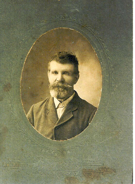
Peter Carrico is my 5th great-grandfather – my mother, his 4th great-granddaughter in direct line – Catherine Lyons Carrico. I have read that the name Carrico could be French or Italian. According to my extremely talkative, full of life, Catholic family I would vote Italy!
Be that as it may, Peter Carrico came to Maryland in the early years of his life, marrying Ann Gates about 1720 in Charles County. When Ann died about 1735, Peter married Margaret Gates – probably a cousin to Ann. Peter died at Bryantown Hundred, Charles County, Maryland, October 18, 1765.
Carrico’s Hope was a piece of property he bought later in life. Don’t you love that most properties in Maryland were named? I’ve never noticed that in any other state! The descriptive paragraph at the bottom gives us a good idea of what was on the property – another bonus! This property was recorded February 7, 1763.
Members of the Carrico family came to Washington County, Kentucky, about 1795 when the Catholic migration began from Maryland to Kentucky. A conference was recently held at St. Catharine College in Springfield, Washington County, Kentucky, reuniting all descendents of these pioneer families. Ritchey and I were proud to attend!

Charles County
Laid out for Peter Carrico of Charles County, aforesaid, a piece of land lying in the county aforesaid within the presence of his Lordship, Mayor of Calverton, and next adjoining to tracts of land called Maidstone, which is called Carrico’s Hope, and bounded as follows. Beginning at a bounded locust post standing where a bounded red oak of the said Maidstone formerly stood, running thence south fifty seven degrees, West eighty eight, from then north west and by west forty two, then north sixteen degrees, east twenty two, then north twenty seven degrees, west forty four, then north sixty seven degrees, west sixty eight, then north twenty degrees, east seventy four then south seventy degrees, east sixty one, then south forty eight degrees, east one hundred and forty five, thence with a strait line to the first beginning, containing ninety four acres, as by the plat here unto annex may appear. Surveyed and laid down by a scale of (?) in an inch this 30th June 1762, by a Mr. Hanson
About twenty acres of the above land are cultivated and has on it a clapboard dwelling house 16 feet square, a 20 feet square tobacco house, 22 old apple trees and about 400 panels of old fence.

Categories: Family Stories, Genealogy Ramblings, Old Documents


Such a wonderful well written piece of family history !
Thank you, Peggy! I was so excited to find the information on-line!