
Let me share with you a discovery I made this morning. There is a wonderful website – www.waterproofpaper.com. They sell Puffin Paper – waterproof paper. Their notebooks, pens, pencils and field desks are all designed for outdoor writing. But the most amazing part of this website are the free printables they offer – calendars, maps, graph paper, targets. Go towards the bottom of the page and click on free maps.
There are maps of the world, the United States, each state. For each state there are several choices – maps with major city names, a state outline maps, blank county maps, congressional district maps, population maps, etc. My eye first saw the state map with county names. I need this for a project.
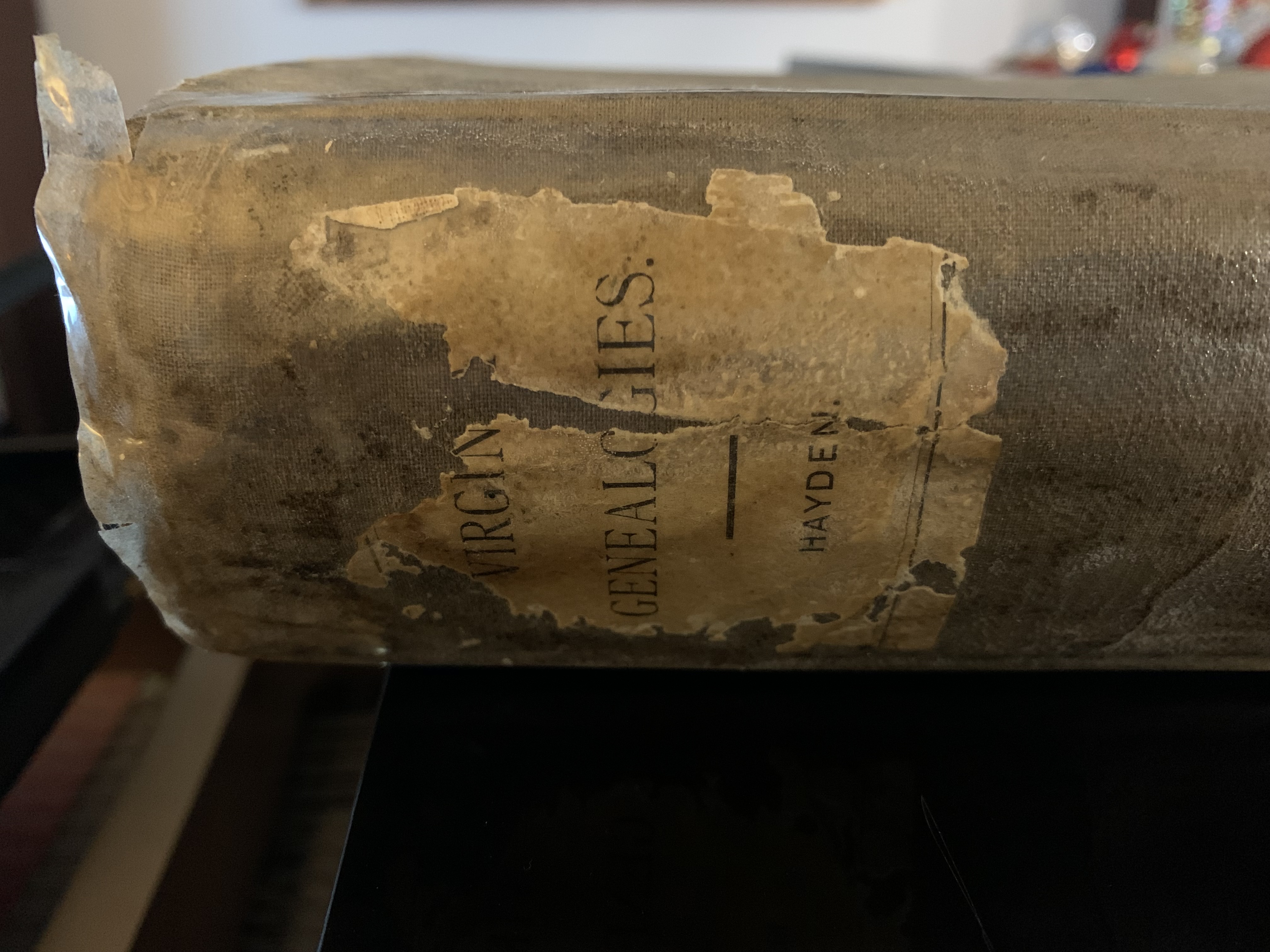
If you use Family Tree Maker you are aware of the many charts and reports you can print. First make sure you are the highlighted individual on your chart – to include all ancestors. You can change this to any individual to make a smaller report, but I wanted all ancestors. If you go to Publish, then Place Reports, there is a Place Usage Report to click on. You can select the individuals to include – immediate family or extended family, all individuals or selected individuals. An alphabetically listing by place name gives all ancestors under the place heading for each category, such as birth, marriage and death. If the place is different for a birth and death, they will be listed twice. For example, my great-grandfather Isaiah Hill was born in Garrard County, Kentucky, and died in Marion County, Kentucky. My Place Usage Report is thirty pages long. Ritchey’s is half that size.

Back to the free maps. I wanted a state map with counties to mark where my ancestors, and Ritchey’s, lived. I will use two different colors to put asterisks in the different counties, purple for me and orange for Ritchey. Most of the ancestors I have in Family Tree Maker are from three states – Maryland, Kentucky and Virginia – with one ancestor each from North Carolina, Tennessee and Missouri – and now Michigan for myself! Ritchey has ancestors from nineteen states. Interesting that my families are so concentrated and his are spread throughout the country. I also printed a United States map to show which states are included in our family histories. Do check if the map you select should be printed in portrait or landscape mode!
Let me know if you find this helpful. I will share some of my maps with you once I’ve marked counties where the ancestors lived. This should be very helpful when you visit states/counties for research – and give a good perspective of our ancestors’ journey through life.
Categories: Genealogy Ramblings


Thanks for this information. Most helpful. I also use Family Tree Maker Publisher and would like to add that it is really fun to use the provided backgrounds of parchment paper or old maps or the trees backgrounds when printing maps and charts. You can also adjust the transparency percentage of the background. Makes very professional-looking publications.